

Upper Austria Mariazellerweg: C: Stage 4: Sonntagberg – Ybbsitz
OÖ Mariazellerweg: C: 4. Etappe: Sonntagberg - Ybbsitz
Hiking tour Starting from Sonntagberg
©Mostviertel - OÖ Mariazellerweg ©Mostviertel - OÖ Mariazellerweg ©Mostviertel - OÖ Mariazellerweg ©Mostviertel - OÖ Mariazellerweg ©Mostviertel - OÖ Mariazellerweg ©Mostviertel - OÖ Mariazellerweg ©Mostviertel - OÖ Mariazellerweg ©Mostviertel - OÖ Mariazellerweg ©Mostviertel - OÖ Mariazellerweg ©Mostviertel - OÖ Mariazellerweg ©Mostviertel - OÖ Mariazellerweg
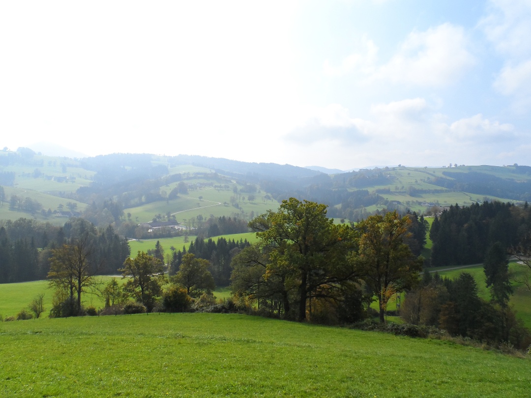
On this stage of the Mariazell Trail, we can look forward to wonderful views over the gently rolling hills of the Mostviertel region. We cycle uphill and downhill, mostly on lonely roads, to St. Leonhard am Walde and later to the historic forging center of Ybbsitz.
- Starting point of the tour
- Sonntagberg
- Tour destination
- Ybbsitz
- Fitness level required:4/6
- Overall experience:4/6
- Scenery:5/6
- Lowest point
- 410 m
- Highest point
- 736 m
On this stage of the Mariazell Trail, we can look forward to wonderful views over the gently rolling hills of the Mostviertel region. We cycle uphill and downhill, mostly on lonely roads, to St. Leonhard am Walde and later to the historic forging center of Ybbsitz.
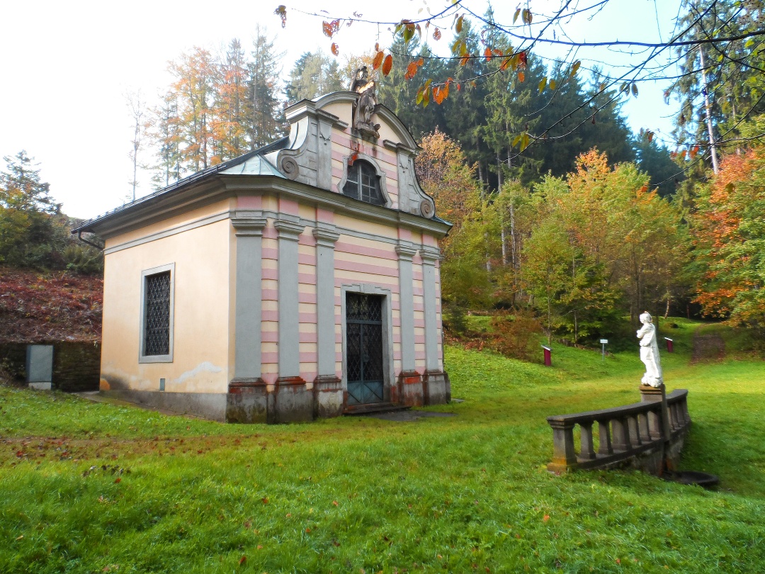
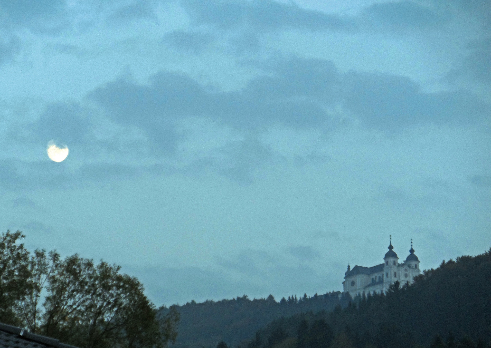
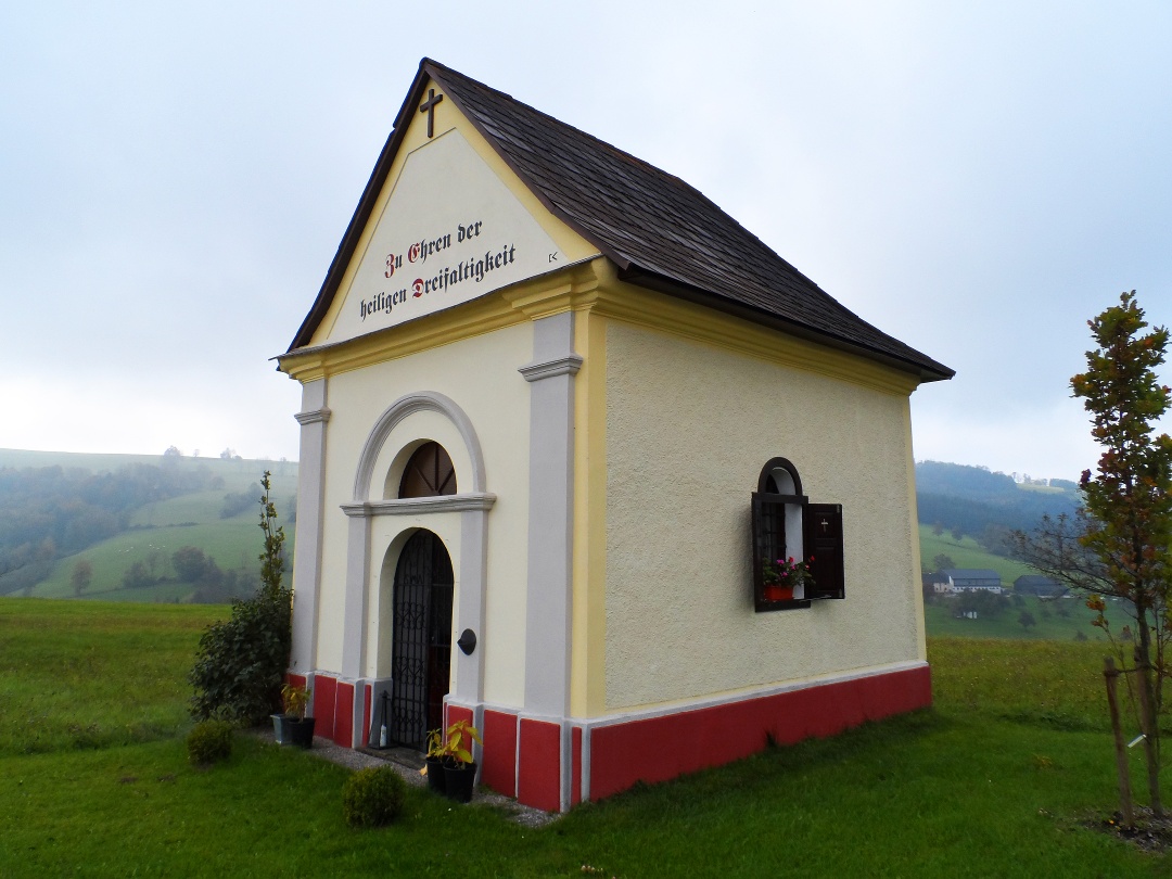
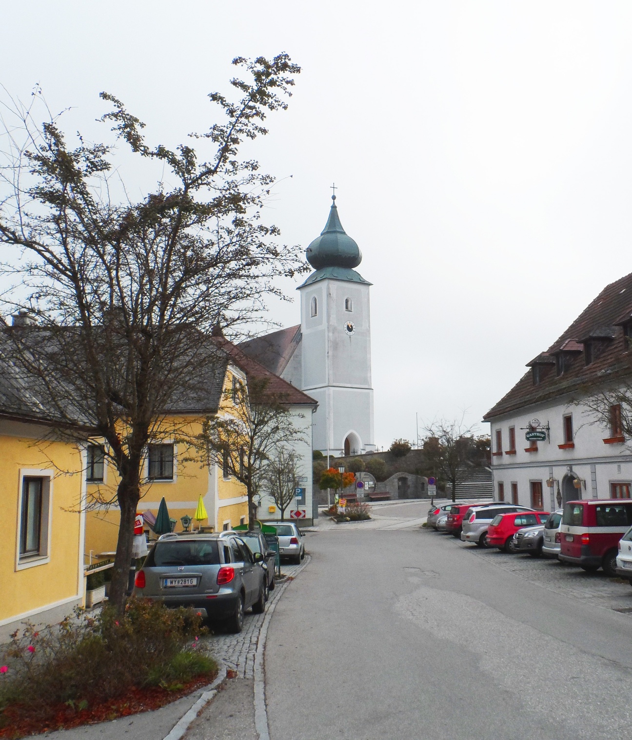
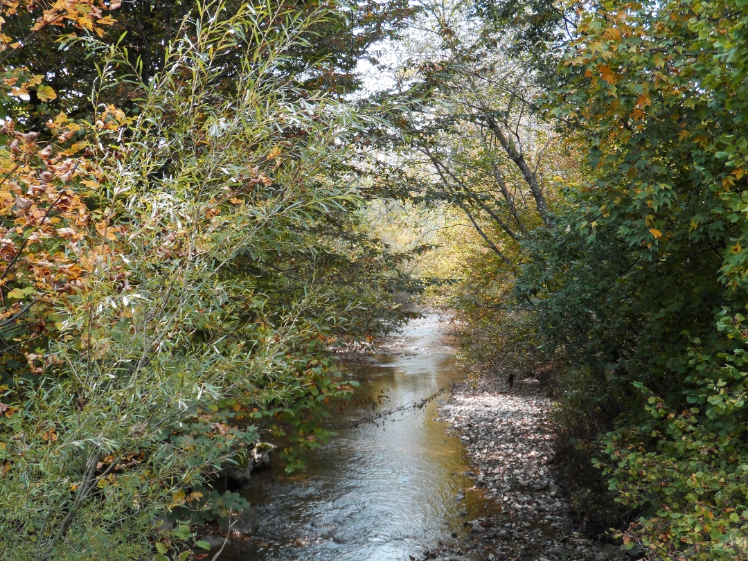
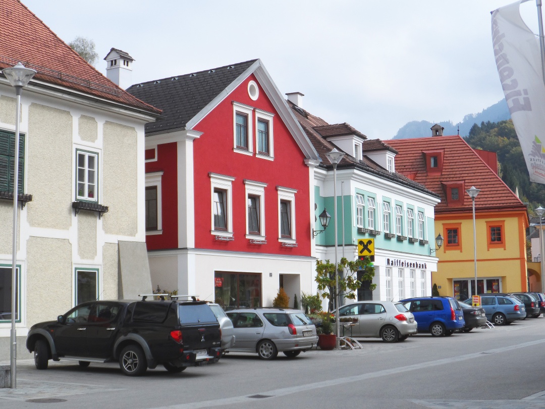
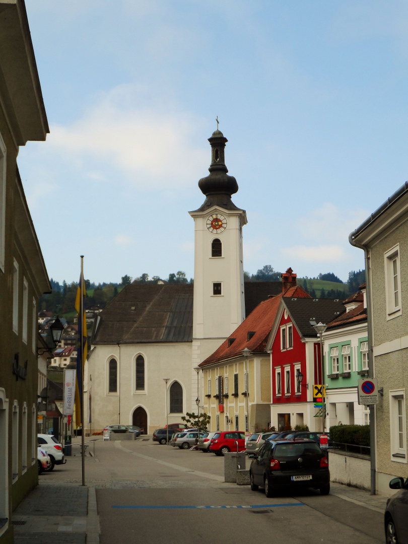
Starting from the pilgrimage basilica on the Sonntagberg, we begin today's stage eastwards through a pleasant wooded area to the Türkenbrunnen fountain. The Türkenbrunnen fountain commemorates the so-called "Horse Miracle" in 1529, when Turkish horsemen attempted to plunder the church on Sonntagberg. According to legend, the horses fell to their knees at the fountain - frightened by the holy place - and refused to move on. The Turks were thus forced to turn back. In 1677, a chapel was built next to the spring to commemorate this event. After the fountain, we hike over the Herzogenberg and then along the Panorama-Höhestraße to St. Leonhard am Wald, where we enjoy a break after a rather strenuous climb. Right at the entrance to the village there is a beautiful chapel dedicated to St. Hubertus, from where we have a wonderful view of the valley. A few meters later, in the village center, we come across another chapel and the "Fiakerkirche" of St. Leonhard. The Viennese hackney carriage drivers have been making a pilgrimage to this church every year since 1826, as St. Leonhard is the patron saint of horses, cattle and sheep, among other things. From St. Leonhard, the route descends for a long time, passing beautiful farms and walking through avenues of fruit trees on long bends down into the valley. In Schwarzbach we come to the Urlbach stream and can take a break here at an idyllic chapel on the banks of the stream before climbing back up towards Ybbsitz. On the way to Knieberg, we make a pilgrimage through lush meadows, past comfortably grazing cows to the last hill before our destination for today. From here, we have a fantastic panoramic view of the Prochenberg (1123m) and the Maisberg (942m), as well as the village of Ybbsitz in the valley, which is also the end point of our stage.
On a pilgrimage, your backpack really should contain only the bare essentials! However, since this route is an alternative to the classic Mariazellerweg, a GPS device is very helpful for navigation.
Sonntagberg, then eastward along the Panoramahöhenweg and Long-Distance Hiking Trail 08 to St. Leonhard am Wald; from there, head south past Schmidberg onto Hiking Trail 31, which takes us through Tannhals, Leiten, and Schwarzbach. After passing the hamlet of Mitterriegl, we’ll reach a small chapel where we’ll join the Upper Austrian Mariazellerweg 06 trail to Ybbsitz.
Below the Sonntagberg Pilgrimage Basilica, there is a spacious, free gravel parking lot.
Coming from Salzburg, take the exit toward Oed (131). Pass through Aschbach and Kematen an der Ybbs to reach Gleiß, where you turn left toward Sonntagberg.
Coming from Vienna, take the Amstetten-West (123) exit and follow Weyerer Straße (B121) to Kematen; in Gleiß, turn left toward Sonntagberg.
You can take the train via Amstetten to Rosenau/Ybbs. From there, you can reach the Sonntagberg either on foot or by taxi.
Recommended period
J
F
M
A
M
J
J
A
S
O
N
D
Leider können wir Ihnen zum jetzigen Zeitpunkt keine Wetterdaten für den Ort anzeigen.
Mostviertel Tourismus GmbH
Töpperschloss Neubruck, Neubruck 2/10, 3283 Scheibbs
T +43/7482/20 444
info@mostviertel.at , www.mostviertel.at
Mariazeller Land Tourist Board
Hauptplatz 13, 8630 Mariazell
Phone: +43 (0)3882/23 66
Upper Austria Tourism Information
Freistädter Straße 119, 4041 Linz
info@oberoesterreich.at
www.wandern.at
Useful Maps:
ÖK 4319 Linz, ÖK 4320 Perg, ÖK 4326 Steyr,
ÖK 4202 Ternberg, ÖK 4203 Waidhofen,
ÖK 4203 Ybbsitz, ÖK 4204 Lunz, ÖK 4210 Mariazell
All at a scale of 1:50,000 (also available as a 1:25,000 enlargement
)
F&B Hiking Maps 261 (1:50,000), 051 (1:50,000),
052 (1:50,000), 5031 (1:35,000)
Kompass 22 (Mariazell, Ötscher, Erlauftal, 1:25,000),
Kompass 212 (Hochschwab, Mariazell, Eisenwurzen, 1:50,000),
Kompass 202 (Around Linz, Mühlviertel, Wels, Steyr, 1:50,000)
Important Phone Numbers:
Alpine emergency number: 140, International emergency number: 112
Recommended Reading:
Pilgrimage Routes to Mariazell – Volume West + South, www.styriabooks.at
Hiking in the Mariazeller Land and Ötscher Regions, www.kral-verlag.at
Pilgrimage Routes, www.kral-verlag.at
Letzte Änderung: 3 Aug 2026