Randegger Höhe route
Randegger Höhe route
Mountain bike tour Starting from Randegg, parking lot at the outdoor pool
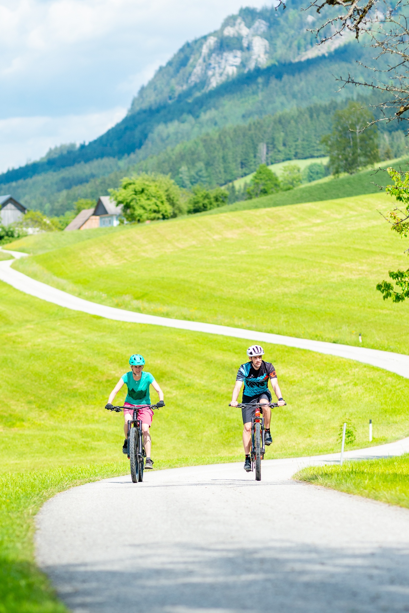
The Randegger Höhenrunde rewards you with unique views. It leads along a variety of asphalt and forest roads as well as meadow and field paths over the mountain ridges of Randegg.
- Starting point of the tour
- Randegg, parking lot at the outdoor pool
- Tour destination
- Randegg, parking lot at the outdoor pool
- Fitness level required:5/6
- Overall experience:4/6
- Scenery:4/6
- Singletrack scale:1/6
- Lowest point
- 341 m
- Highest point
- 830 m
The Randegger Höhenrunde rewards you with unique views. It leads along a variety of asphalt and forest roads as well as meadow and field paths over the mountain ridges of Randegg.
The Randegger Höhenrunde impresses with its variety and magnificent views. Once you have cycled up the first ascent, you can enjoy regional ciders or juices at the cider fountain in Grub to fortify yourself. There are still a few meters to climb before you reach the highest point of Randegg (830m). As you cycle comfortably up the hill, you can relax and enjoy the wonderful view. The Ötscher can be seen in all its glory. On clear days, cyclists can also see as far as the Styrian Gesäuse. Past the Rauchegger Kreuz and after a steep descent, you climb the Hochkogelberg opposite, from where a wonderfully contrasting view opens up - as far as Flachlach in the direction of Amstetten - on clear days you might even catch a glimpse of Linz. After a descent, you reach the district of Perwarth, from where you cycle back to the starting point via the Erlauftal cycle path.
Please note the winter closure of this and all other MTB trails in the Mostviertel from November 1 to April 14.
Thank you for your understanding!
Fully functional mountain bike.
The starting point is the parking lot at the outdoor pool in Randegg. Mountain bikers ascend the highest mountain of Randegg by turning left before the Raiffeisenbank Randegg and following the access road for about 3.5 km to the Mostbrunnen. After a short refreshment, the cyclists follow the 1 km long trail path, which leads them back to an access road past the Vogelsberg house to the highest point of Randegg. Upon reaching the junction at the top, turn right and enjoy the first descent. It is about 3 km to the Brandstatt house, shortly after the farmhouse the route continues on the ridge over forest and meadow areas. Then the bikers reach the Rauchegger Kreuz before the descent through the Bretterwald follows. Upon reaching the main road, turn left, follow the main road, and then turn right. Among the roads branching off there, the mountain bikers choose the middle one, which leads past the Klein Narnreith farmhouse. Via a field path, it goes up to the Mostviertler Höhenstraße, on which you turn right at the Kalchstech house and follow it to the Panoramastüberl. Just after the Panoramastüberl, you turn left and cycle over a forest path past the Hochkogelberger sculpture back to the access road. At the Schaar house, the mountain bikers choose the field path to the left and follow it over a meadow to the Hinterhof farmhouse, where they return to an access road. There, keep left and follow the access road to the Reidling house, where you turn right and follow the access road down to the district Perwarth. There, cross the main road and turn right into the settlement, at the end of which the Meridian cycle path runs back to the starting point Randegg.
Numerous hikes as well as the ascent of the peaks at Hochkogelberg and Franzenreither Berg can be combined with this MTB route.
Recommended period
J
F
M
A
M
J
J
A
S
O
N
D
Leider können wir Ihnen zum jetzigen Zeitpunkt keine Wetterdaten für den Ort anzeigen.
At the start and finish point, mountain bikers can refresh themselves at Pizzeria Randegg or at Gasthof Grünbichler. For dessert, ice cream, cool drinks, and coffee can be enjoyed at Kathi’s Café Bar or the Feldhofer bakery. Along the route, a stop at the Panoramastüberl is recommended to refuel for the continuation. It is best to round off the mountain biking adventure with an overnight stay in one of our accommodations (Gasthaus Schliefauhof, Gasthaus Grünbichler, Pension Riegler), then you can also discover our seven hiking trails with many highlights.
Letzte Änderung: 3 Aug 2026